martinastro
Martin Mc Kenna
Global Moderator
Hero Member

Posts: 5182
Maghera, N. Ireland


|
 |
« on: April 26, 2009, 10:47:11 pm » |
|
 Storm Forecast Valid: Mon 27 Apr 2009 06:00 to Tue 28 Apr 2009 06:00 UTC Issued: Sun 26 Apr 2009 20:53 Forecaster: GROENEMEIJER SYNOPSIS A longwave trough is located over western Europe and a ridge over eastern Europe. Within the trough, a mid- upper cyclone located near the Balearic Isles moves eastward and reaches central Italy on Tuesday morning. Ahead of the mid/upper-level cyclone, an initally weak surface cyclone over the northern Tyrrhenean Sea is expected to deepen significantly. Another cyclone filled with cold air moves from the Atlantic southeastward across the SWern British Isles to reach France on Tuesday morning. DISCUSSION Italy... Upslope flow and ascent due to DCVA is expected to create an episode of heavy rain, mostly non-convective, across the southern Alpine flanks and the Po-Valley. Amounts locally in excess of 100 mm could lead to problems. Further south, in vicinity of the system's cold front, some convective storms are expected. Moderately strong wind shear and weak CAPE suggest not more than a low risk of severe weather will exist, that doesn't warrant a level 1. |
|
|
|
« Last Edit: April 26, 2009, 11:54:59 pm by martinastro »
|
Report Spam
 Logged
|
|
|
|
|


|
|
stuart2588
|
|
« Reply #1 on: April 27, 2009, 12:18:27 pm » |
|
just had a downpour of pea sized hail here in Newtownabbey. Convection is looking great!
|
|
|
|
|
|
brianb
|
|
« Reply #2 on: April 27, 2009, 12:22:54 pm » |
|
There is clearly convection here too, though it looks like "wintry shower convection" (moist unstable polar air) rather than the sort that might produce serious storms. Just taken an image out the back window, will try to get it uploaded. Edit: Here's the image:  |
|
|
|
« Last Edit: April 27, 2009, 12:31:26 pm by brianb »
|
Report Spam
Logged
|
|
|
|
martinastro
Martin Mc Kenna
Global Moderator
Hero Member
Posts: 5182
Maghera, N. Ireland
|
|
« Reply #3 on: April 27, 2009, 12:29:59 pm » |
|
Updated forecast from Tony Gilbert http://www.ukweatherworld.co.uk/forum/forums/thread-view.asp?tid=29818&posts=3&mid=436522#M436522Awesome convection here, amazing updraughts and cbs forming with showers breaking out. Looks like a good day could be in store. CAPE values between 300-400 with Lifted Index at 0 for NI this afternoon. Lovely images Brian!, good cb and updraughts behind it. This is turning out to be a photogenic forecast. |
|
|
|
« Last Edit: April 27, 2009, 12:32:56 pm by martinastro »
|
Report Spam
Logged
|
|
|
|
|
Paul
|
|
« Reply #4 on: April 27, 2009, 01:24:56 pm » |
|
Just been to the Loughshore in Antrim - great stuff - I could see three separate rainstorms across the Lough at one time - some pics to upload - can't do it from here so will later. Also a couple of good loud rumbles of thunder - didn't see the lightning though so couldn't put a range on it.
|
|
|
|
|
Steveo74
|
|
« Reply #5 on: April 27, 2009, 01:45:53 pm » |
|
Just to let you know, we've had hail here in Dromore Co Down.  |
|
|
|
|
stuart2588
|
|
« Reply #6 on: April 27, 2009, 02:10:58 pm » |
|
I see there have been some sferics on the charts in similar area to Sat storm. Quite a large dark build up outside my house at the min but no thunder or rain as of yet. Had a little hail about 20 mins ago for a very short period. Hopefully we will get something.
|
|
|
|
|
|
brianb
|
|
« Reply #7 on: April 27, 2009, 02:57:36 pm » |
|
Hmmm - just a progress report from the sunny (for once) North Coast - the old front is visible low to the north east, updraghts over Inishowen are generating anvil clouds which are blowing well to the West of me, there is approx. 2/10 cloud cover - half of it is the cumulus congestus / Cb to the W & SW, most of the rest is fair weather cumuls to the south. The majority of the sky is completely clear of cloud and very transparent. If it stays like this for 14 hours, after 5 consecutive complete greyouts, I'll be pleased enough.
|
|
|
|
|
|
stuart2588
|
|
« Reply #8 on: April 27, 2009, 03:56:49 pm » |
|
Here is a few pictures from my back garden today. I also decided to go out for a drive incase I missed any action but unfortunately I didnt catch anything. I did however take these pics from my back garden. A guy from ukww had spotted a funnel cloud in Templepatrick (not far from my house shortly before I took these). I am not sure if they were funnels but it lasted for about 4 or 5 mins. I couldnt get any better images. 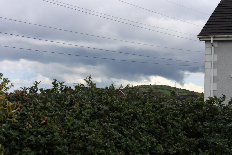 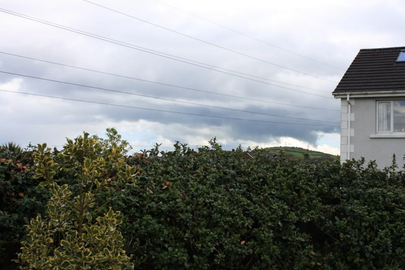 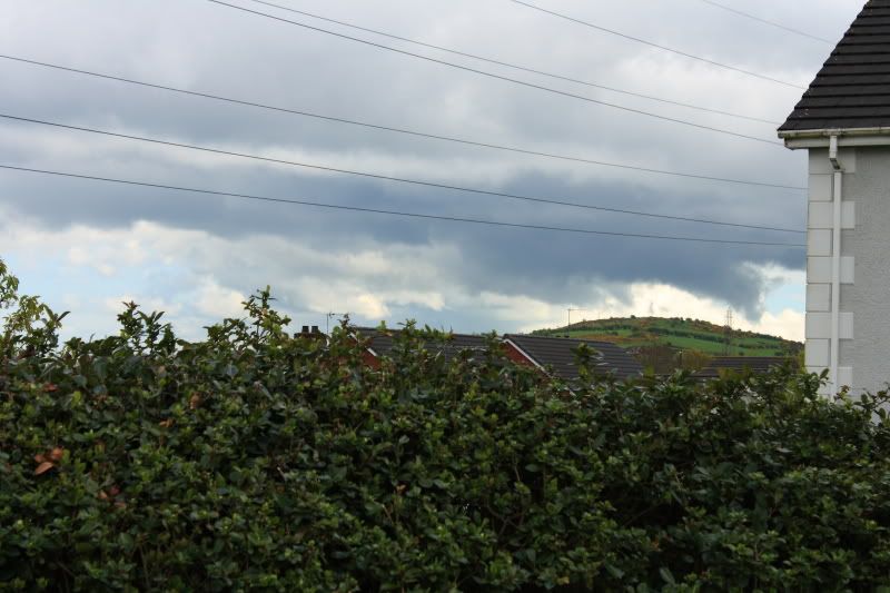 They look alot clearer zoomed in. There was also some small hail from this. Whatever it was, was located on the far right of this image below behind the house.. May have just been scud. 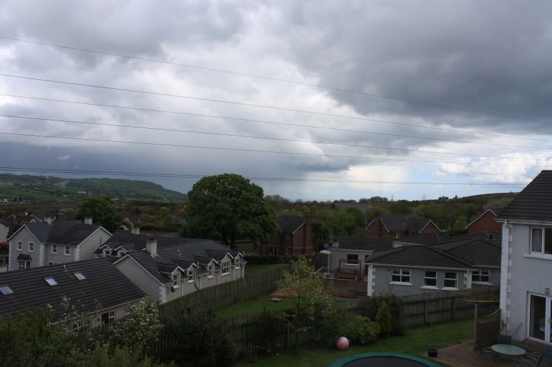 |
|
|
|
« Last Edit: April 27, 2009, 03:58:42 pm by stuart2588 »
|
Report Spam
Logged
|
|
|
|
martinastro
Martin Mc Kenna
Global Moderator
Hero Member
Posts: 5182
Maghera, N. Ireland
|
|
« Reply #9 on: April 27, 2009, 04:27:32 pm » |
|
Thanks for the text John. Great stuff catching another amazing anvil and mammatus!. I have no credit on my phone so couldn't reply, I figured you would be watching out today  Just back from a great afternoon. By mid day there was awesome convection all over the sky. Huge updraughts and enormous cbs with wispy anvils af first, which then turned solid. A nice thunderstorm broke out to the E of Maghera with good blue c-gs and regular rumbles of thunder. This storm was very low to the ground with impressive inflow!. Can't believe I've seen my third t-storm of the season already!. Another storm moved through, without lightning a little later, the base was black and low with amazing inflow. Scud was racing up unto the base. It formed two wall clouds at different times. The first was very abrupt and was trying to produce a vortex for a long time. Definite scud suckers but one of them turned quite tubular in shape and very much like a weak funnel. This was an impressive scene. The same cell produced heavy rain and a hail storm with stones the size of frozen peas. Those cells/storms today are really trying to drop something big time. Excellent day, a great show!. needless to say, I have plenty of images and some video. The lightning was miles away but clearly seen, I hope my camera picked up the thunder because I could hear it easily. Watch out for funnels this afternoon. |
|
|
|
|
|
|
Roman White
|
|
« Reply #11 on: April 27, 2009, 06:25:47 pm » |
|
Brian, I also think your image look lovely. I wonder about your weather - how those hazy patches which come out from Cb don't affect the clear skies next to them. It makes the scene very photogenic |
SkyWatcher 130/900mm EQ3, Bresser 76/700mm, 20x90 bino. and other, Olympus SP-550UZ Eclipse & comet chaser, occultation & meteor observer Poltava Astronomy Portal |
|
|
|
|
|
|
|
stuart2588
|
|
« Reply #14 on: April 27, 2009, 07:20:15 pm » |
|
Great pics guys. I am just in from a drive to see if I could see anything. I got lots of images with some lowerings but still waiting for the lightning lol.
I assume those pics I took above where scud? They are hard to see as they are but when zoomed in become clearer.
|
|
|
|
|
|
|
|

